Your Cart is Empty
Discover the Latest Enhancements in Civil 3D 2025

The landscape of civil engineering and design software is continually evolving, with annual updates that bring transformative features to industry-standard tools. Civil 3D, InfraWorks, and ReCap Pro, essential components of Autodesk’s software suite, are at the forefront of this evolution. In the 2025 release, these programs introduce a set of enhancements designed to streamline civil engineering workflows, enhance model accuracy, and significantly reduce design times, allowing professionals to complete projects both on time and within budget.
Enhancements to Civil 3D
Civil 3D remains the premier design tool for civil engineers, but the challenges of handling complex projects with large design files are well known. The latest release of Civil 3D focuses on performance optimization, particularly in common and routine functions. Corridor model regeneration and pipe network editing, previously time-consuming tasks, have seen substantial improvements in processing speed. What might have taken close to a minute before, now executes in mere seconds. Surface file handling is also much faster, delivering a noticeable performance boost across the board.
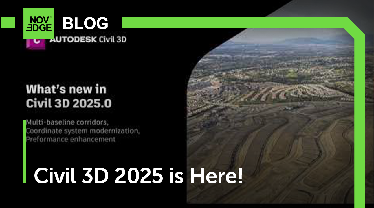
Key updates in Civil 3D 2025 include:
- Coordinate System Modernization: The interface for setting up coordinate systems is now more intuitive, allowing for quick and efficient project setup. Civil 3D now supports NAVD 88 vertical datum and also includes a broader range of coordinate systems to work with, improving productivity and design accuracy.
- Multi-baseline Corridor Setup: Setting up corridor models with multiple baselines has been simplified. With the updated UI, designers can now establish these elements with a single click, eliminating the tedious 'pick and click' process.
- MMS File Saving Optimization: MMS files, which accompany large DWG surface files, can be sizeable. The new release saves MMS files only when the surface is modified, as opposed to every time the surface DWG file is opened or closed, reducing unnecessary processing time and power usage.
- Esri ArcGIS® Basemaps Integration: In collaboration with Esri, Civil 3D now includes five Esri basemaps, enhancing terrain, street, and structure visualization directly from the Geolocation tab.
For detailed technical documentation, the Civil 3D release notes offer comprehensive insights into all the new features and improvements.
InfraWorks and ReCap Pro Updates
Check out specific details on the updates for InfraWorks and ReCap Pro. These tools also receive regular enhancements that complement the improvements seen in Civil 3D. InfraWorks is known for its ability to aggregate data and create detailed, design-context-rich models, while ReCap Pro excels in reality capture, transforming real-world conditions into digital representations.
Together, these updates contribute to an ecosystem where civil engineers can work more intuitively, efficiently, and collaboratively. With improved integration across the Autodesk suite, users can expect seamless project management and execution.
Embracing the Future of Civil Design
The 2025 updates reflect a commitment to user feedback and a dedication to enhancing the user experience, performance, and collaboration. As civil engineering projects continue to grow in complexity and scope, these tools are more indispensable than ever.
For professionals looking to stay at the forefront of design technology, NOVEDGE is an invaluable resource. With a vast array of design software and expertise, NOVEDGE offers tools that are compatible with Autodesk products, enhancing and expanding the capabilities of your design suite.
To explore the newest and most advanced design software technology, we invite you to contact our sales team at NOVEDGE, where our experts are ready to assist you in finding the perfect solution to meet your project needs.
Also in NOVEDGE Blog